Look inside: tap a page
Countries & Capitals
Flags, Cities & Cultures
5.0 from 1 review
£8.99
UK delivery included. Black & white edition. Full colour £11.99.
For a school?
More formats: , lies flat for tracing
Same pages in both editions. Black & white pages are ready for your child to colour in. Spiral bound books lie flat, which makes tracing easier.
UK delivery included in the price. Printed to order and arrives in 7 to 10 working days. Any 3 paperbacks from £14.99 with free UK delivery: the price comes off in your basket.
30-day returns · Secure checkout
- 🔒 Secure checkout by Stripe
- 🇬🇧 From a small independent UK publisher
- 💬 Arrives damaged? We’ll put it right
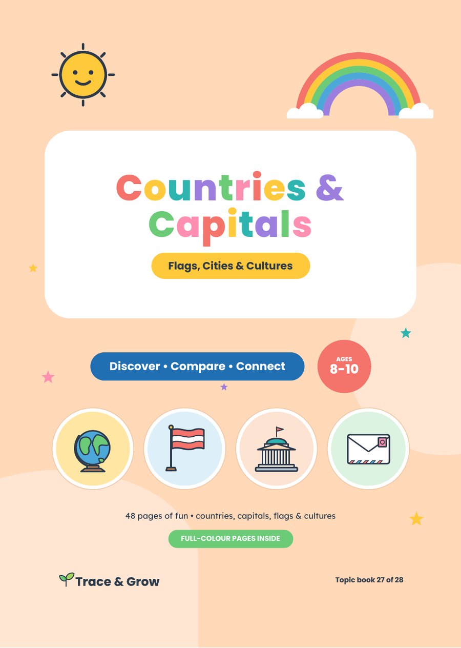
Find countries, match capitals, read flags and meet the world. A geography workbook for children aged 8 to 10. Learn what makes a country, a capital city and a continent, then tour every continent on maps drawn from real map data, finding well-known countries and their capitals. Match capitals and flags, design your own flag, compare countries by size and population, say hello in twelve languages and explore everyday culture. Make fact files, compare your home with a contrasting place and write a pen-pal letter.
- Real-data maps of every continent
- Capitals, flags and record-breaking cities
- Charts of size and population, languages and greetings
- Fact files, a pen-pal letter, quizzes and answers
Which edition?
| Edition | Price | Best for |
|---|---|---|
| Full colour | £11.99 | Bright, inviting pages in full colour |
| Black & white | £8.99 | Lower price, with the pictures left for your child to colour in |
| Printable PDF | £3.49 | Print at home as often as you need for your own family. Emailed straight after payment, no postage |
| School licence PDF | £19.99 | One school or setting prints as many copies as its pupils need for 12 months. Your school's name on every page |
| Spiral bound | +£2.00 | Lies flat on the table, which makes tracing easier (printed editions) |
- Format
- 48 pages, A4, full colour or black & white or printable pdf or school licence pdf, paperback or spiral bound
- Delivery
- UK delivery is included in the price. Printed to order in the UK: allow 7 to 10 working days.
- Geography path
- After Rivers & Mountains · Next: Atlas Skills
Reviews
"This is geography done right for Key Stage 2. Instead of dry rote memorisation, the book makes exploring the world feel like an adventure. The maps are clear and based on real geographic data, and the activities—from matching flags and comparing population charts to learning greetings in 12 languages—keep older kids hooked. The pen-pal letter prompt and the contrasting locality activity encouraged thoughtful, empathetic reflection on how daily life looks across different cultures. It provides just the right level of challenge, with quiz answers in the back so kids can check their own work with confidence."
Mohamed · 16 Oct 2026